This legend describes the Freizeitkarte with the theme fzk-outdoor-contrast. The legend is also valid for the theme fzk-outdoor-soft.
Style:
The theme contains three different styles. The styles make a pre-selection of features and design. Style-related options are visible only when selected.
With the options, the map can be adapted to your own needs.
- Outdoor: High contrast presentation for various outdoor activities.
- Bicycle: Optimized for bicycle and mountain bike.
- City: Complete public transport shown per default, all buildings less intense.

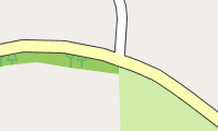
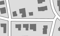
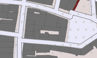
Areas:

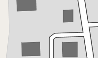


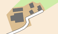


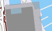
Public buildings


Note:
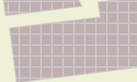
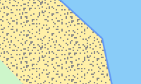
- Cultivated land (farmland) is in many countries the most frequently occurring area (in Germany it is 33%).
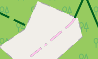
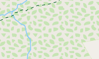
- Forest covers a significant area of many countries (in Germany it is 30%) and therefore is good for rough orientation.
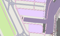
- (Lattice) hatching is for areas with access restrictions (mil. area, construction sites, power plants, allotments, private parking, ...) used.
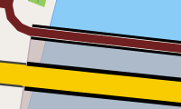
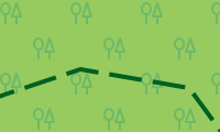
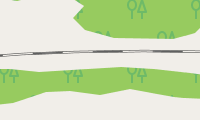
Roads and Paths:


- General prohibition to use: Usage is prohibited or not possible.
- Private road: The owner generally prohibits to use the road (exceptions are possible).
- Usage is prohibited or not possible for motor traffic.

- Delivery traffic allowed: Usage is permitted for delivery of goods to the customer only.
- Destination traffic allowed: Usage is permitted if the destination is on this road or path.

- Agricultural traffic: Usage is permitted for "agricultural traffic" only.
- Forestry traffic: Usage is permitted for "forestry traffic" only.


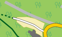

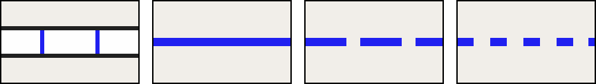
Path is not wide enough for a vehicle.


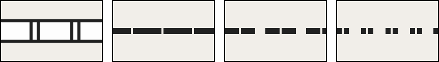
Road is wide enough for a vehicle. Three types can be distinguished:

2 = paved path (gravel or other compacted ground).
3 = paved or repaired path, consisting of hard and soft ground (e.g. fine gravel, sand or mud path).
0 = No quality grade is set for this path.
4 = unpaved path, consisting mainly of soft material, plant growth along the middle of the way (e.g. grass, sand or mud path).
5 = unpaved path, surface consisting of grass, soil etc., usually just a trail in the grass, partially hard to distinguish from surround area.
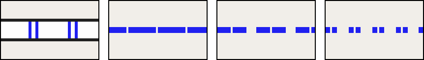
Four difficulties are distinguished:

T1 = hiking path, trail
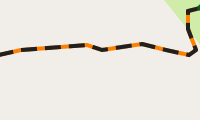
T2 = classic mountain trail
T3 = demanding mountain trail
T4 = alpine trail
T5 = demanding alpine trail
T6 = difficult alpine trail

Note:
- Leisure time activities in mountains require a certain amount of experience and hold danger. Basing only on this map no mountain hiking should be planed.
- Agricultural, country or dirt road of grade 2-5 are generally not suitable for road transport. Use restrictions are therefore not reported separately.
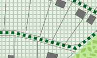
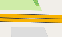
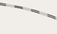
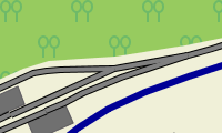
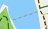
Railways und cablecars:
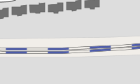


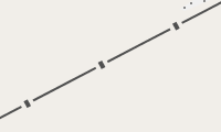

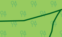
More linear objects:


distances 500m, 100m, 20m

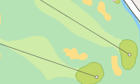
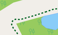
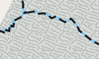
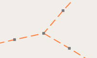
Routes:
To avoid confusion activate only one route type at a time. If available the route will be displayed with name and number. The route is displayed in the color of the most significant network. The name is also taken from the most significant network. Only one name can be displayed. However, all existing numbers will be displayed.

- Bicycle "lcn"
- Hiking "lwn"
- Inline "local"
- Horse riding "lhn"
- Canoe "lpn"
- Motorboat "lmn"

- Bicycle "rcn"
- Hiking "rwn"
- Inline "regional"
- Horse riding "rhn"
- Canoe "rpn"
- Motorboat "rmn"

- Bicycle "ncn" oder "icn"
- Hiking "nwn" oder "iwn"
- Inline "national"
- Horse riding "nhn" oder "ihn"
- Canoe "npn"
- Motorboat "nmn"

Junction networks:
To avoid confusion activate only one network type at a time. If available the network will be displayed with name and number.
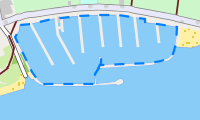
Pistes:
To avoid confusion activate only one piste type at a time. If available the piste will be displayed with name and number.

- Downhill ski "novice" (bunny hill)
- Cross country ski "novice"

- Downhill ski "easy"
- Cross country ski "easy"
- Sledding "easy"

- Downhill ski "intermediate"
- Cross country ski "intermediate"
- Sledding "intermediate"

- Downhill ski "advanced/expert"
- Cross country ski "advanced/expert"
- Sledding "advanced"
The difficulty level of sledding trails is often not recorded, so even easy sledding trails can be very steep and fast.
MTB Scale:

S 0:
S 1:

S 2:
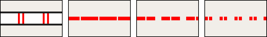
S 3

S 4
S 5


Points-Of-Interest (POIs):


Note:
- Leisure time activities in mountains require a certain amount of experience and hold danger. No mountain hikes should be planned relying solely on this map.